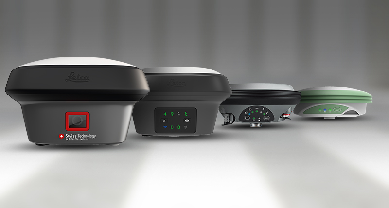
The Leica GS18 is a precise GNSS receiver designed for surveying. Its key feature is tilt compensation technology, enabling measurements at any pole tilt angle without leveling.

The Leica TS16 is a total station with advanced imaging capabilities, combining surveying, imaging, and GNSS functionality in a single instrument.
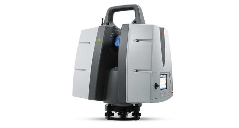
The Leica P40 is a high-performance terrestrial laser scanner, enabling detailed 3D reality capture and surveying with exceptional precision and efficiency.
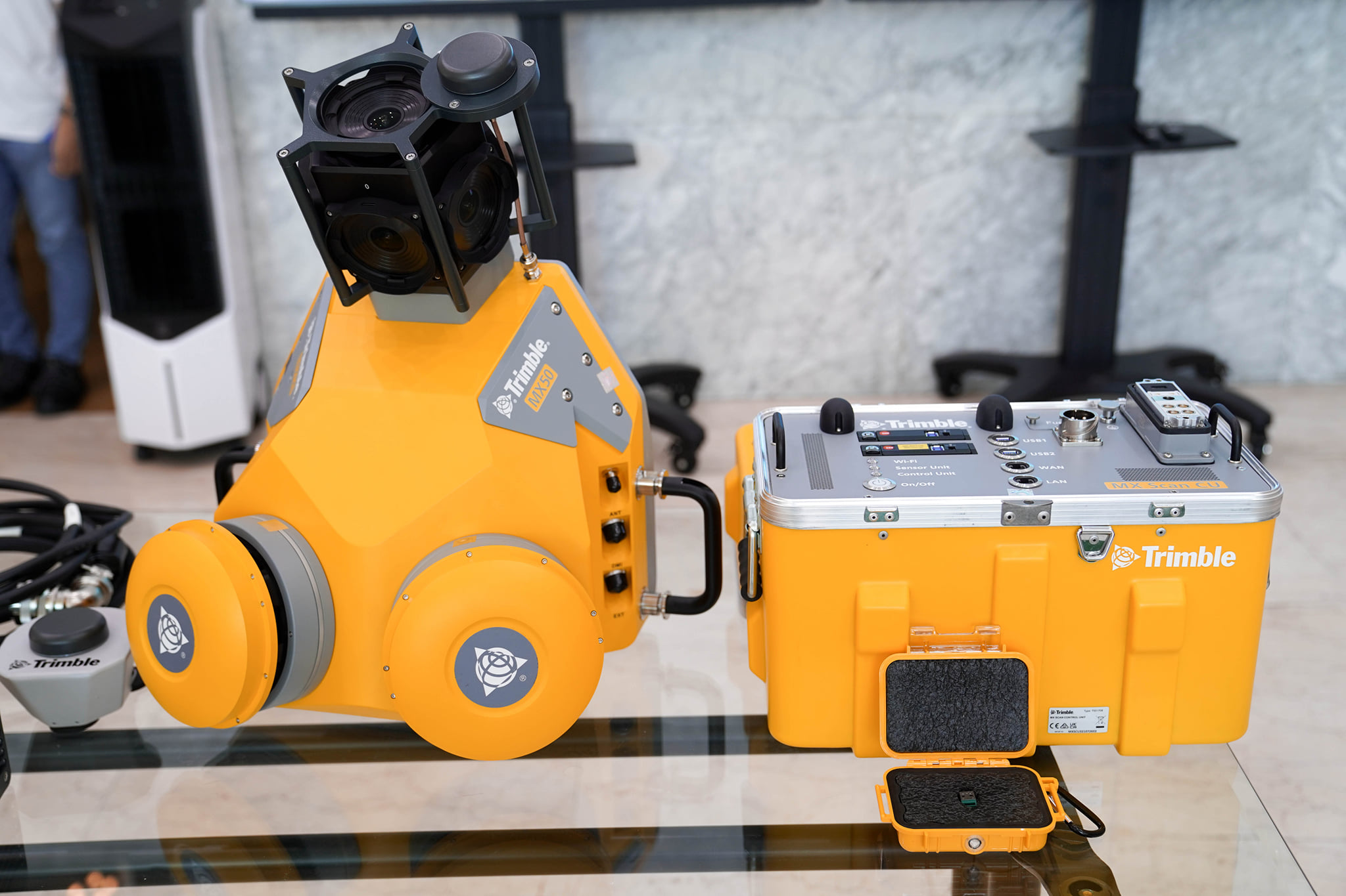
The Trimble MX50 is a versatile mobile mapping solution, integrating precise GNSS, LiDAR scanning, and imaging technologies for efficient geospatial data collection.
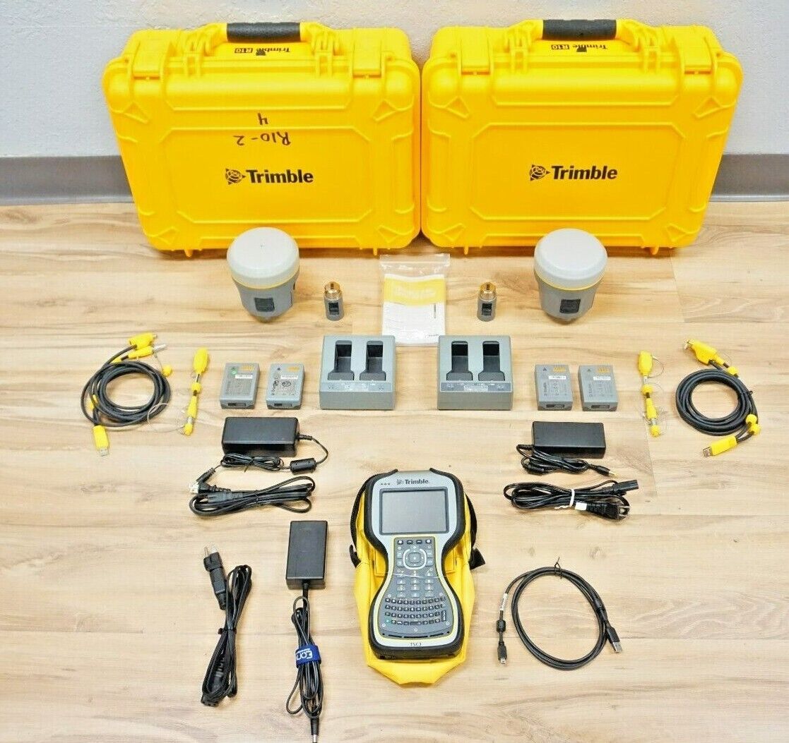
The Trimble R10 is a high-precision GNSS receiver, providing advanced and efficient positioning for precise surveying and geospatial applications.
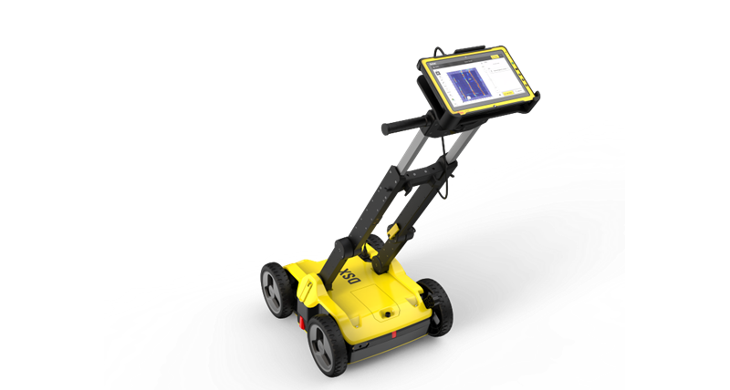
Leica Detective machines are advanced surveying instruments that streamline data collection and analysis, enhancing efficiency and precision in surveying tasks.
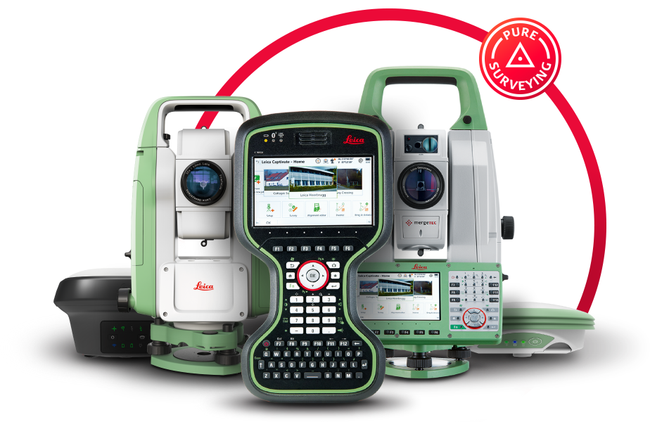
The Leica CS20 is a field controller with integrated surveying functionalities, facilitating efficient data collection and control for a range of surveying tasks.
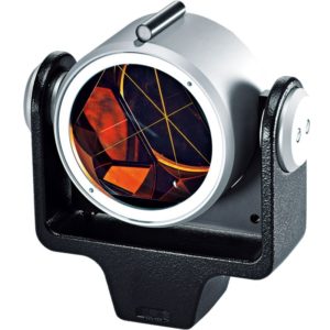
Optical survey prisms optimize surveying accuracy by reflecting Electronic Distance Measurement (EDM) beams with a wide angle of incidence and high precision.
Providing exceptional services tailored to meet diverse needs, ensuring customer satisfaction and surpassing expectations. Our commitment revolves around efficient solutions, professional expertise, and a dedication to delivering outstanding results in every endeavor